Clark Lake woke up to more snow–on this 17th day of April. Like staring at an unexpected tax bill, it wasn’t all that welcome. With the temperature at 28 degrees at 9 am, it will take its time melting.
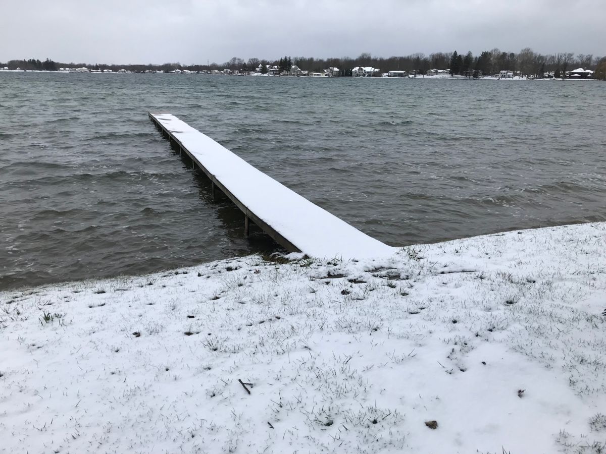
The good news is that Clark Lake escaped damage from the ice threat over the weekend. There were multiple advisories from the National Weather Service that there could be trouble. Freezing rain coupled with gusty winds did topple power lines in some areas of the state leaving some residents without power. But that didn’t happen at Clark Lake. A review of the Consumers Energy outage map on Sunday did not show outages here.
So what’s the look ahead? Here’s what the National Weather Service forecast is saying. (You can get an updated report by going to the main page of this website, lower left).
Today: A 40 percent chance of snow showers, mainly before noon. Mostly cloudy, with a high near 39. West northwest wind 16 to 18 mph, with gusts as high as 29 mph.
Tonight: Partly cloudy, with a low around 25. West wind 6 to 11 mph.
Wednesday: Showers and possibly a thunderstorm after 2pm. High near 48. Light and variable wind becoming east southeast 5 to 7 mph in the morning. Chance of precipitation is 80%. New rainfall amounts of less than a tenth of an inch, except higher amounts possible in thunderstorms.
Wednesday Night: Rain showers before 1am, then rain and snow showers between 1am and 3am, then snow showers likely after 3am. Some thunder is also possible. Low around 33. East northeast wind around 9 mph becoming north after midnight. Chance of precipitation is 80%. New snow accumulation of less than a half inch possible.
Thursday: Rain and snow likely before 10am, then a slight chance of rain between 10am and 2pm. Mostly cloudy, with a high near 45. North northwest wind 11 to 15 mph, with gusts as high as 25 mph. Chance of precipitation is 60%. New snow accumulation of less than a half inch possible.
Thursday Night: Partly cloudy, with a low around 27.
Friday: Sunny, with a high near 51.
Friday Night: Mostly clear, with a low around 28.
Saturday: Partly sunny, with a high near 52.
Saturday Night: Partly cloudy, with a low around 31.
Sunday: Mostly sunny, with a high near 55.
Sunday Night: Mostly clear, with a low around 34.
Monday: Sunny, with a high near 59.
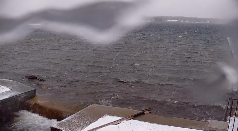
You can also view the DamCam, 24/7. In this snapshot from 9 am, it accurately paints the picture–cold westerly winds and a little ice trying to block the view.
Spring is having a hard time making itself known.