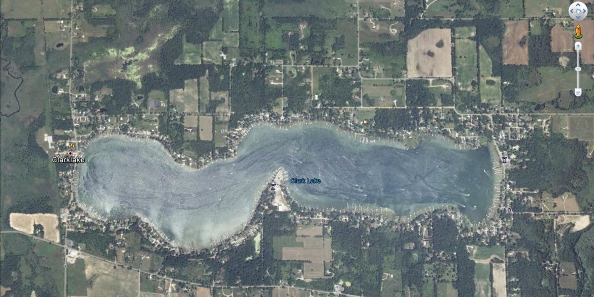
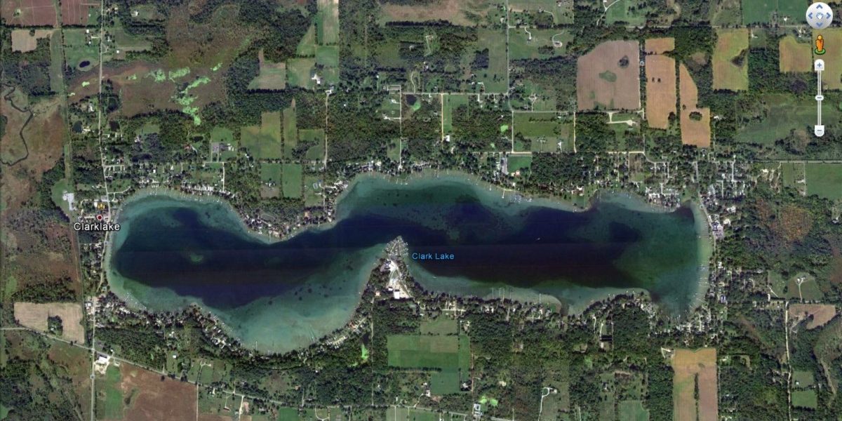
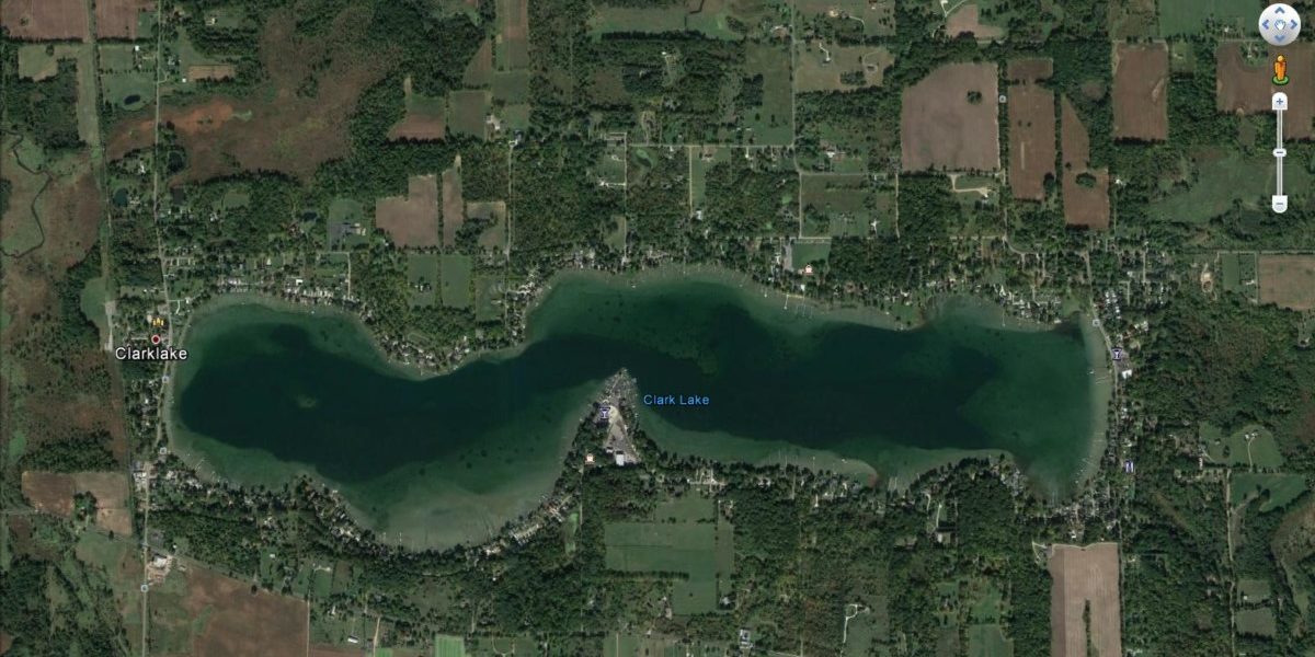
Where were you on October 13, 2016? That’s when Google Earth’s satellite passed overhead and snapped an image of Clark Lake. Here’s the latest look at the lake from high above the earth.
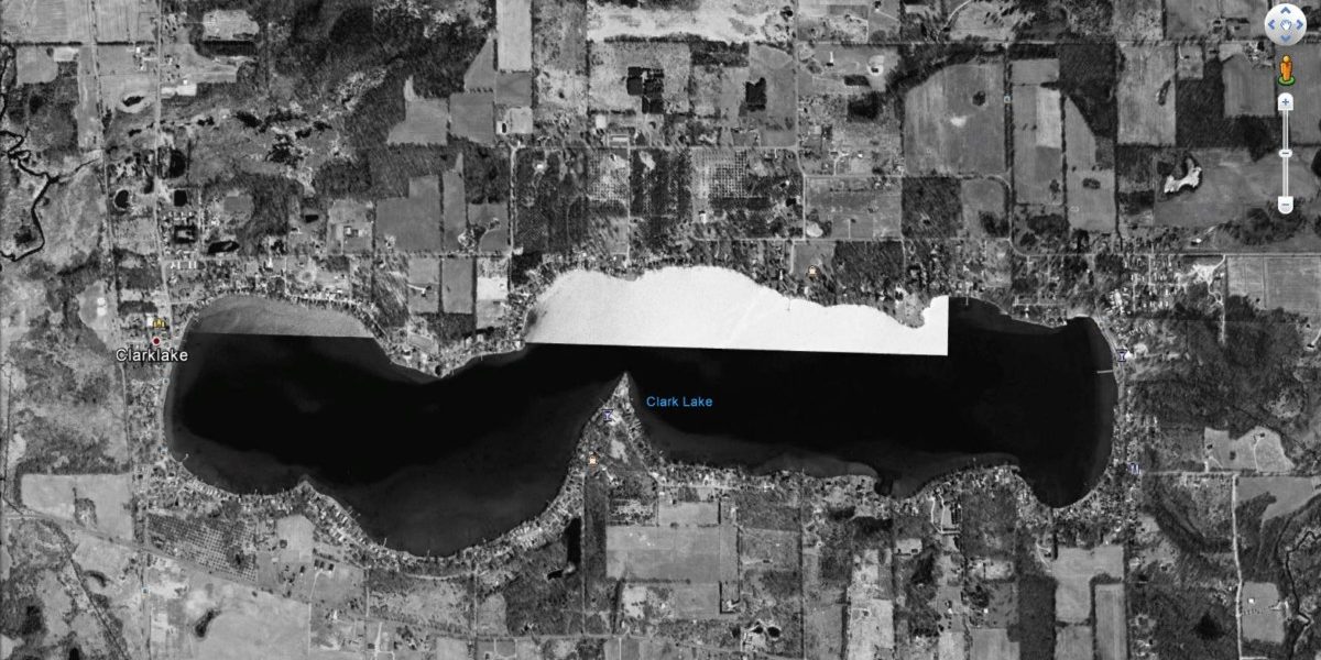
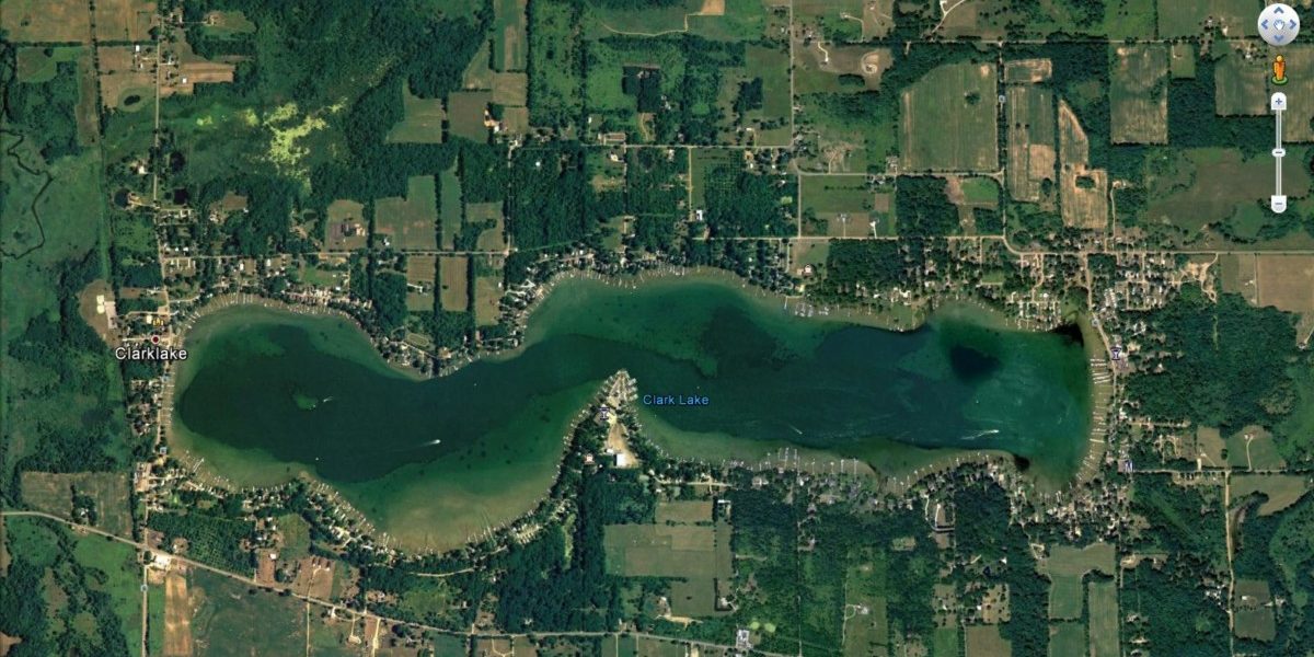
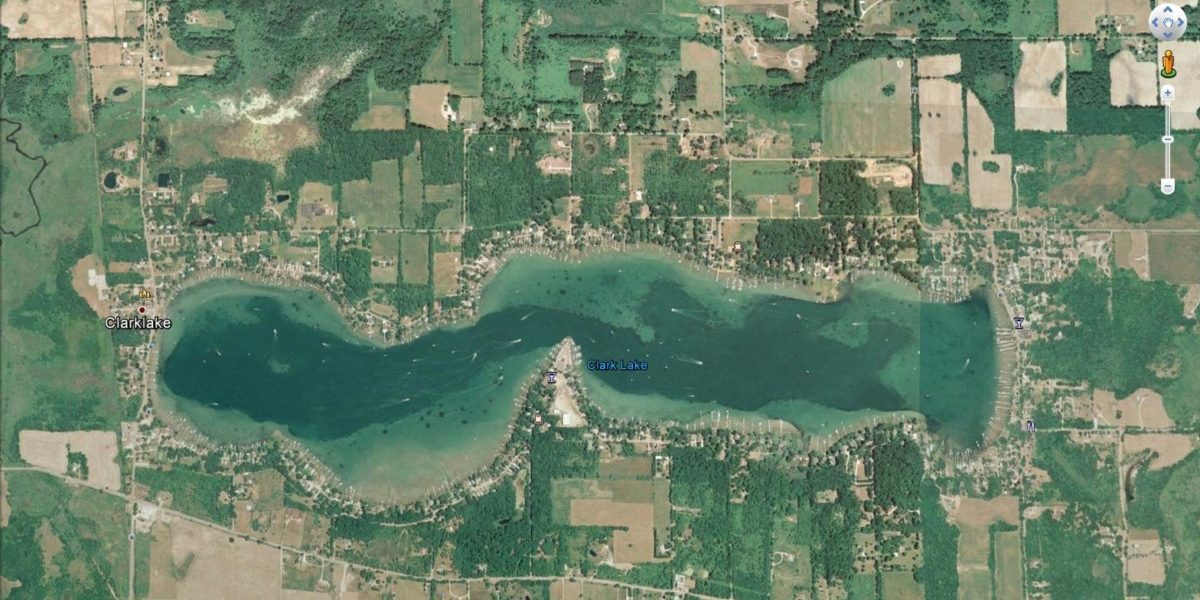
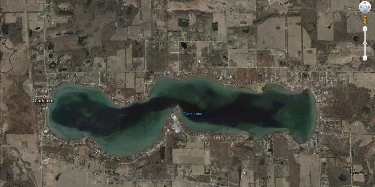
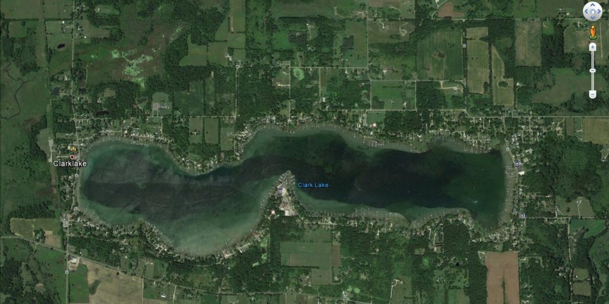
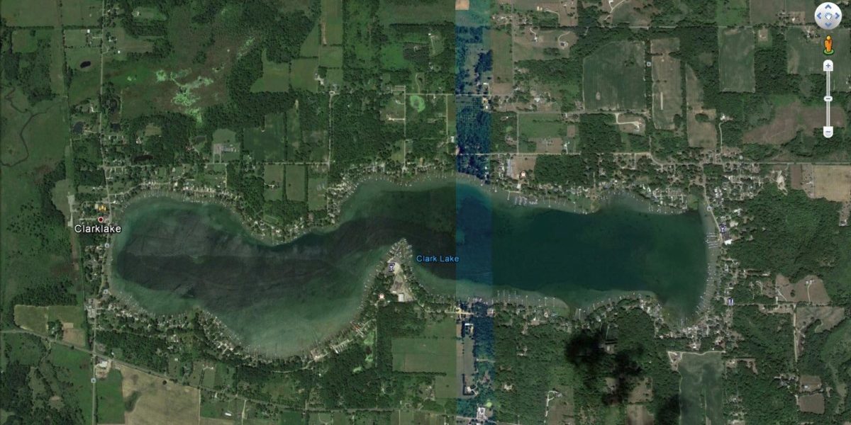
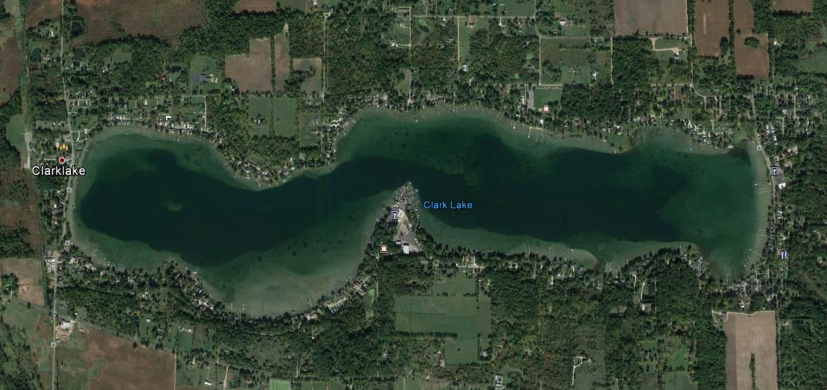 Google keeps an historical archive of satellite photos. Below are images dated April 6, 1999; May 31, 2005; June 2, 2006; July 25, 2010; October 31, 2011; April 3, 2013; July 14, 2015, August 7, 2016; and the latest–October 13, 2016. The first in the sequence from 1999 is monochrome followed by the successive dates, in order. As you see the sequence move forward, notice the changes. If you look carefully you’ll notice how things have gradually changed. For example, check out changes on Eagle Point. (You can stop the progression of the slide show by putting your mouse on a photo, and then advance it manually with the arrow on the right-hand edge).